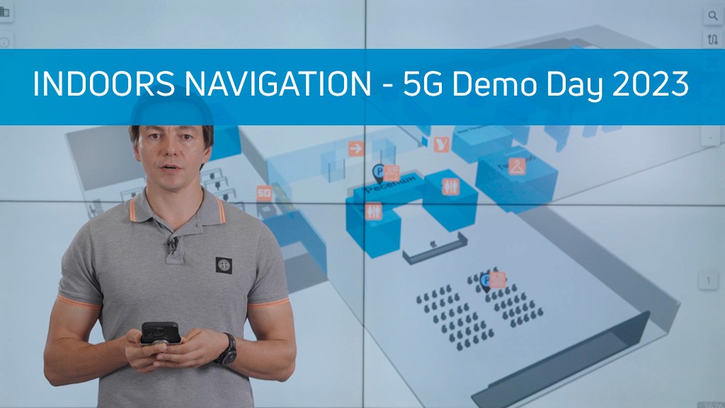
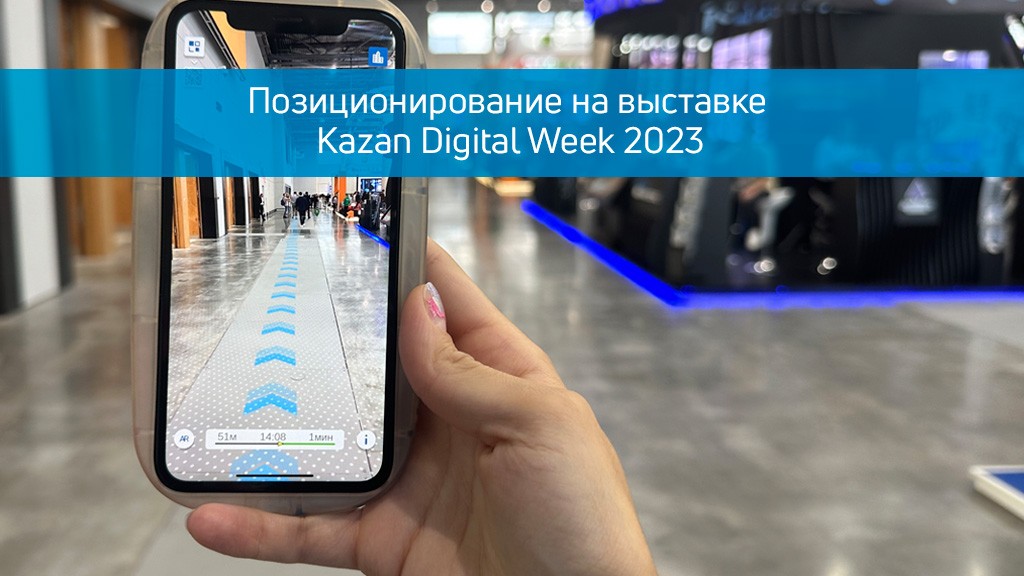
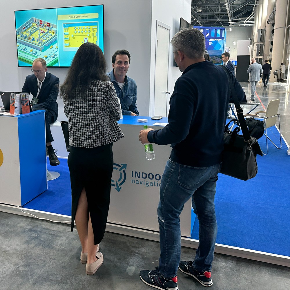
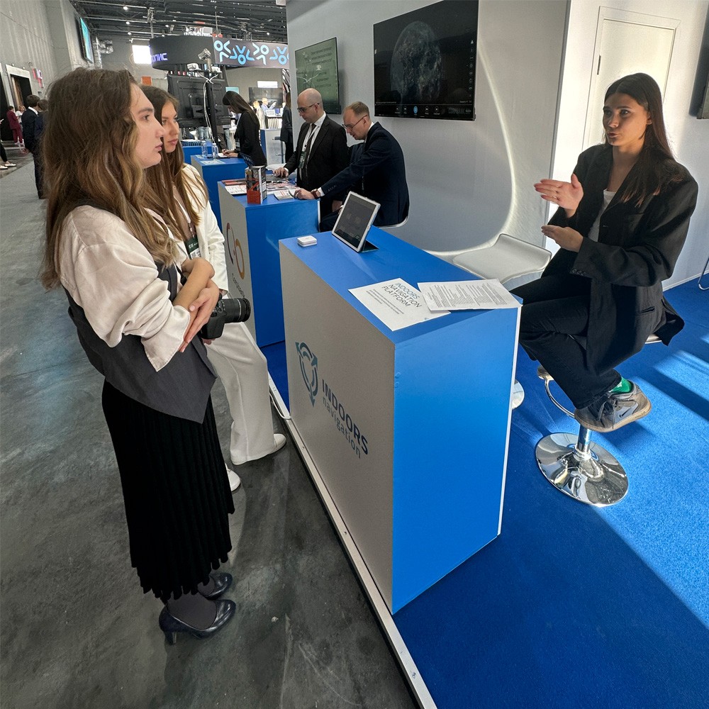
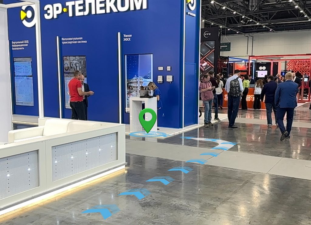
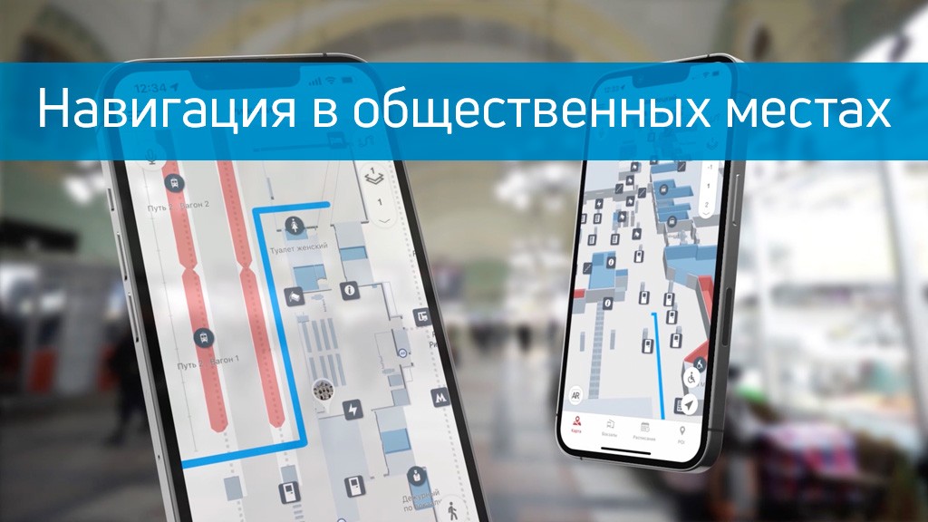
In today's world, where navigating large and crowded spaces can be a real challenge, Indoors Navigation offers an advanced augmented reality (AR) navigation solution. This technology allows users to see routes directly in real space through the screen of their smartphone, making the process of movement easier and intuitive.
Using the Indoors Navigation Platform, users can scan special markers to get visual cues integrated into the environment using 3D graphics. This is especially useful in places with high density of people, such as train stations and shopping malls, where traditional maps may not be informative enough.
AR navigation also opens up new business opportunities: virtual elements can not only point the way, but also serve as a channel for creative advertising, attracting users' attention and creating new opportunities for brand interaction.
The benefits of Augmented Reality navigation:
- Интуитивность и удобство — ользователи получают маршрут прямо перед собой, что исключает необходимость отвлекаться на чтение карт и схем.
- Интерактивность — иртуальные объекты можно использовать для продвижения брендов, что делает навигацию не только полезной, но и увлекательной.
- Современность — AR-навигация представляет собой шаг в будущее, где технологии и реальность сливаются воедино, создавая новый уровень комфорта и безопасности.
Disadvantages:
- Зависимость от устройства — работа AR-навигации требует достаточно мощного смартфона, что может ограничить круг пользователей.
- Необходимость маркеров — для активации AR-навигации требуются специальные маркеры, что может усложнить использование технологии в некоторых случаях.
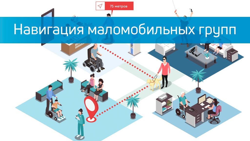
AR navigation from the Indoors Navigation Platform is not just a technological innovation, but a real tool for improving convenience and safety in high-traffic areas. This technology allows for seamless integration of the virtual and real worlds, opening up new opportunities for both users and businesses.
Learn more about how the Indoors Navigation Platform can transform your facility and offer your visitors a new level of comfort and safety. Contact us for a consultation and demonstration of the platform's capabilities.
👇 Subscribe and keep up to date with innovations! 👇