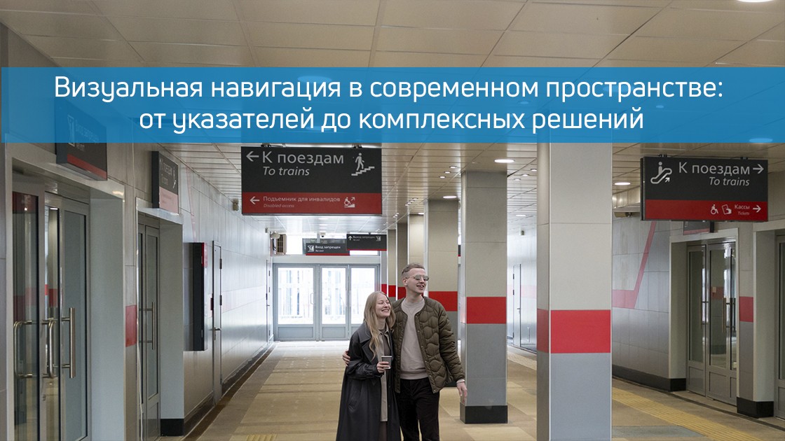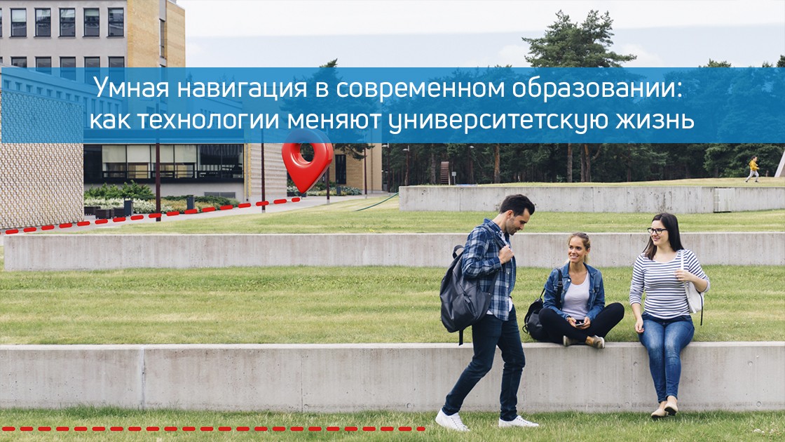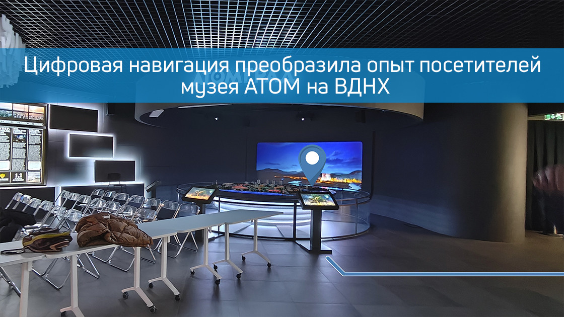
Представьте, что вы входите в современный музей, посвященный одной из самых сложных и фундаментальных тем — атомной энергии. Пространство наполнено интерактивными экспонатами, макетами, информационными стендами. Возникает естественный вопрос: с чего начать? Как найти ту самую симуляцию ядерной реакции или детскую зону, если вы пришли с ребенком? Где ближайшее кафе? В музее АТОМ на ВДНХ эти вопросы остались в прошлом благодаря внедрению передовой системы цифровой навигации от компании Indoors Navigation.
Мы превратили физическое пространство музея в его точный, интерактивный и понятный цифровой двойник. Результат — не просто электронная схема, а живая 3D-карта, которая стала личным гидом каждого посетителя, делая путешествие по миру атомной науки осознанным, удобным и увлекательным.
Ваш личный цифровой гид в кармане
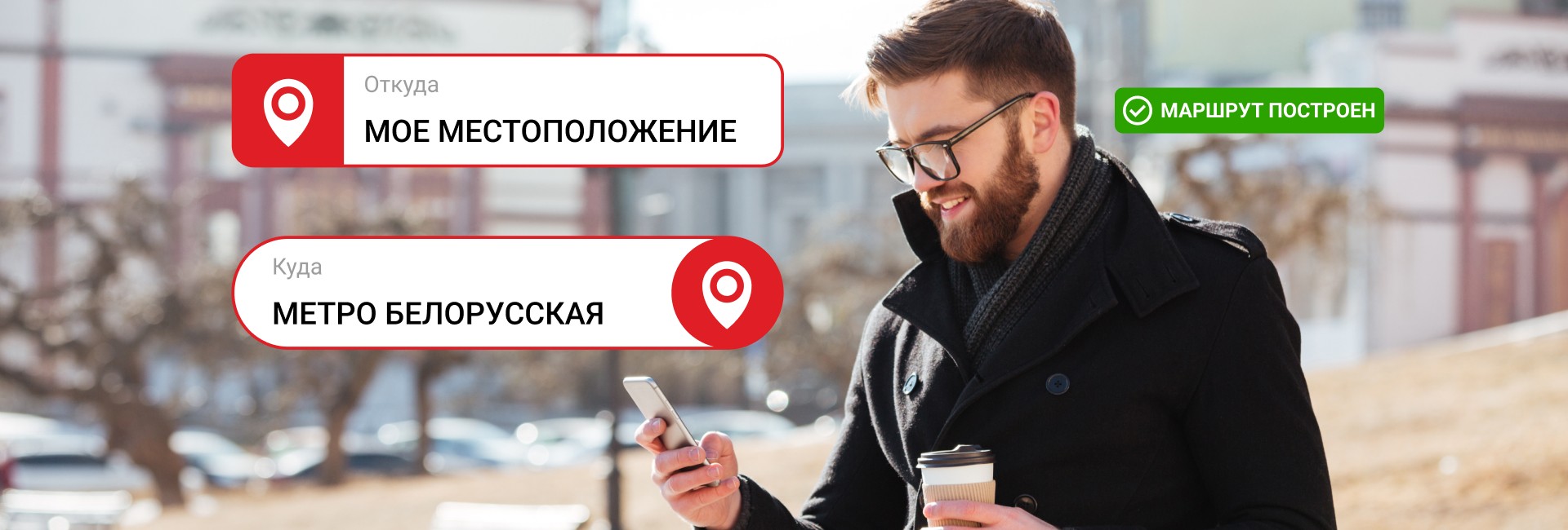
Главный принцип, который мы заложили, — максимальная простота и доступность. Нам было важно, чтобы технология служила людям, а не требовала от них специальных знаний.
- Никаких приложений: Не нужно искать нас в App Store или Google Play, тратить время на скачивание и регистрацию.
- Просто сканируйте: По всему маршруту музея — у входа, в начале каждой экспозиционной зоны, у лифтов — размещены QR-коды.
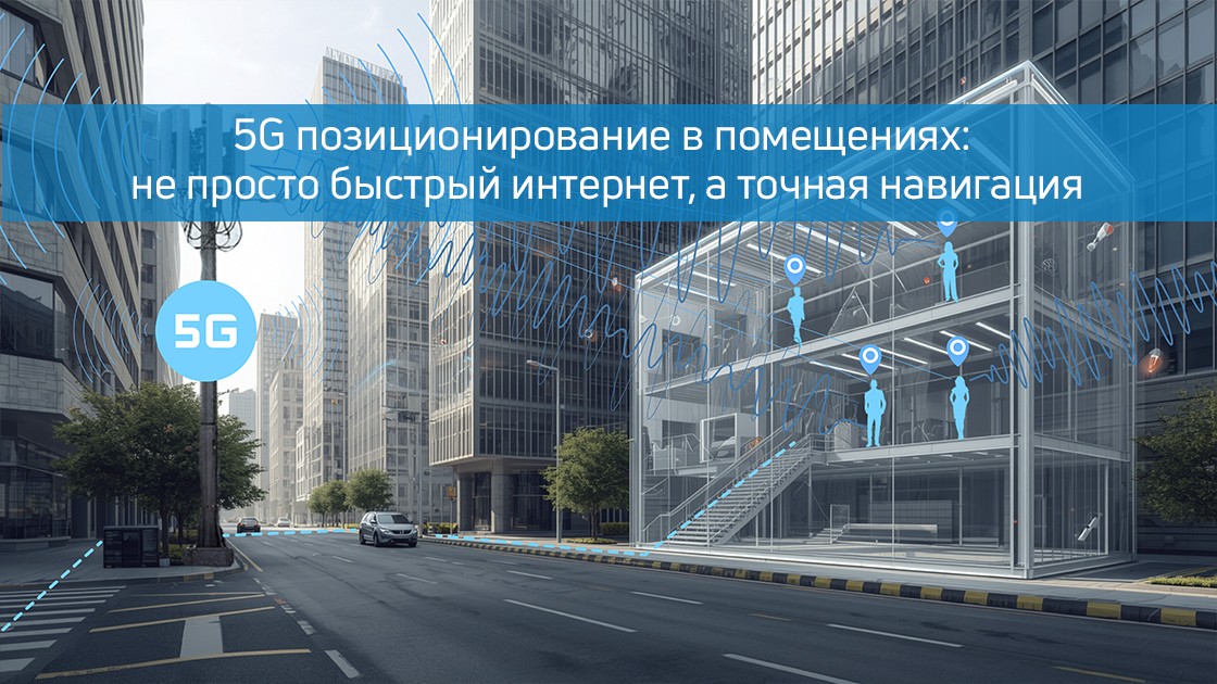
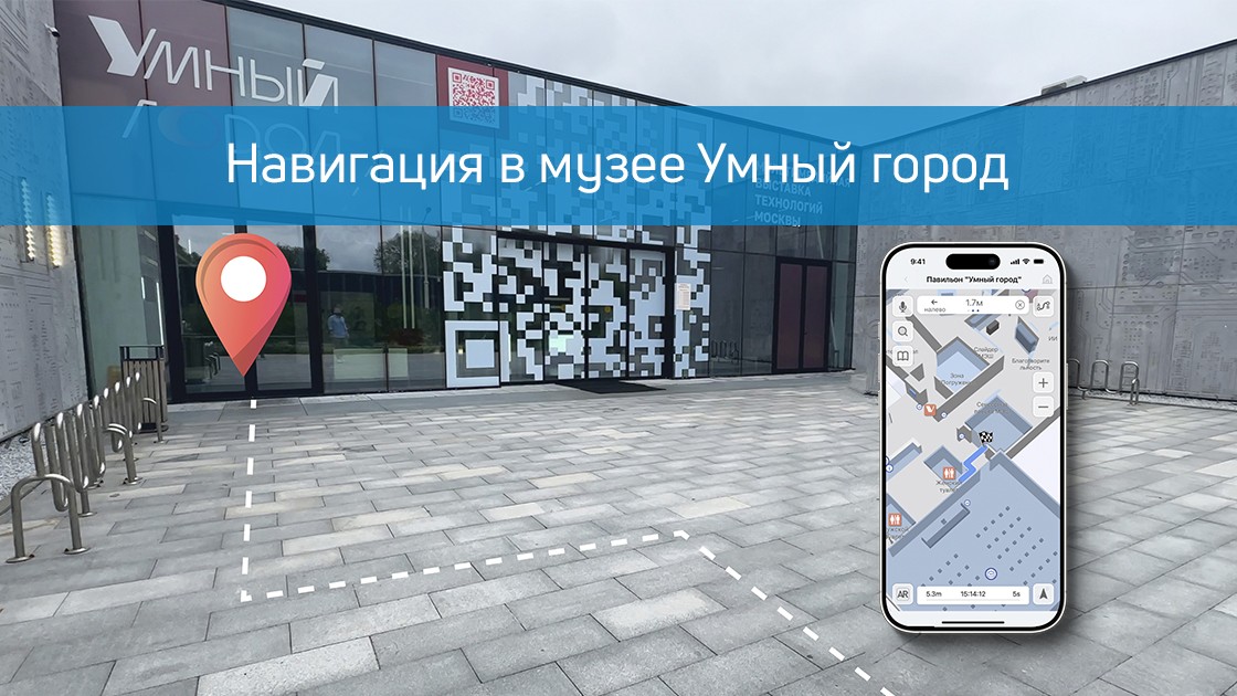
- Мгновенный доступ: Наведите камеру смартфона на код, и в вашем браузере моментально откроется полная 3D-карта музея. Система автоматически определит, где вы находитесь, и отметит вашу позицию на плане.
В один клик пространство музея становится прозрачным и понятным. Вы больше не «гость», который может заблудиться, а «исследователь», уверенно прокладывающий свой собственный маршрут.
Что видит и что может посетитель на цифровой карте?
Трехмерная модель музея АТОМ — это детализированная копия, где учтено все, что может заинтересовать гостя:
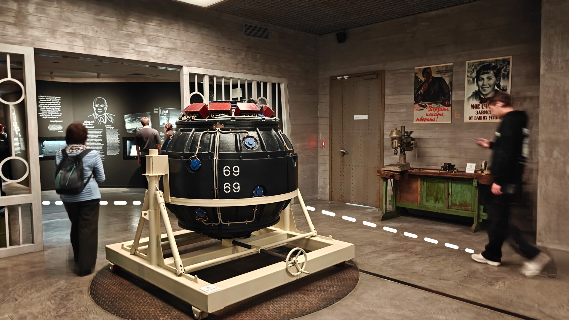
- Экспозиции и экспонаты. Выберите на карте интересующий вас зал или конкретный интерактивный стенд. Система не только покажет, куда идти, но и поможет построить самый оптимальный путь.
- Инфраструктура и сервисы. Вам нужен гардероб, туалет, лифт или комната матери и ребенка? Все эти точки отмечены на карте и доступны для поиска.
- Зоны отдыха и питания. Устали и хотите кофе? Найдите на карте кафе и постройте маршрут, не спрашивая у смотрителей.
- Входы и выходы. Легко сориентироваться при входе и спланировать, через какой выход вам будет удобнее уйти после экскурсии.
Это решение кардинально меняет опыт. Посетители тратят время на изучение науки, а не на поиск пути. Они чувствуют себя увереннее, могут планировать свой визит и глубже погружаться в контент, следуя индивидуальному сценарию. При этом существенно снижается нагрузка на персонал музея, который может сосредоточиться на содержательной работе с гостями, а не на постоянных повторениях: «Пройдите налево, затем направо».
Цифровой двойник как основа будущего развития
Созданная нами 3D-карта — это не разовый проект, а фундамент для будущего развития музея. Цифровой двойник позволяет:
- Легко обновлять информацию. При изменении экспозиции или перемещении зон карта оперативно корректируется.
- Интегрировать новый контент. В будущем к точкам на карте можно привязать аудиогиды, дополнительные материалы, видео или AR-эффекты, усиливая immersion (эффект погружения).
- Анализировать потоки. Анонимизированные данные о популярности маршрутов помогают администрации понимать поведение посетителей и оптимизировать пространство.
В итоге навигация как часть экспозиции
Внедрение системы в музее АТОМ доказало, что современная навигация — это уже не утилитарный сервис, а полноценная часть культурного и образовательного опыта. Она работает на три ключевые цели:
- Комфорт посетителя. Самостоятельность, экономия времени, отсутствие стресса от незнакомого пространства.
- Эффективность музея. Разгрузка персонала, улучшение логистики потоков, создание современного технологичного имиджа.
- База для инноваций. Готовая цифровая платформа для будущих образовательных и интерактивных решений.
Музей атомной энергии, символ прогресса и высоких технологий, теперь обладает и цифровой инфраструктурой, соответствующей его духу. Проект в музее АТОМ — это наш ответ на вопрос, как сделать сложное пространство простым и дружелюбным. Мы создаем решения, где технологии не усложняют, а обогащают реальность, делая ее понятной и доступной для каждого.
Оставьте заявку на: https://indoorsnavi.pro/
👇 Subscribe and keep up to date with innovations! 👇