
Event management
A digital platform for navigation and analytics at public events: festivals, forums, exhibitions, and concerts
The INP platform, which transforms any mass event—from a festival to an international exhibition—into a digital, manageable, and accessible space for all participants, is the digitalization of events and festivals.
Visitors are no longer "lost in the crowd." They see a map of the event venue, know their location, plan routes, and receive personalized content and advertising.
Organizers no longer have to guess where the crowd is heading or which areas are popular. They can see heat maps, reports, staff movements, and manage the event in real time from their phone.
The results of event digitalization include less wasted time, increased visitor loyalty, more data for selling tickets to the next event and attracting sponsors, and the event's PR positioning as innovative.
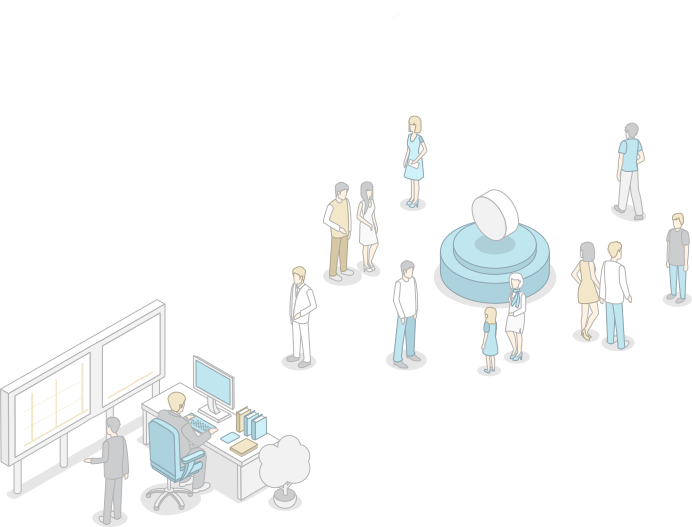
The INP platform for events solves three main tasks
Navigation for visitors
A person enters a festival, forum, or concert, opens the app (or scans a QR code), and sees their location, directions to the desired booth or stage, restrooms, the nearest food court, and the exit. All this without paper maps or tedious questions to volunteers. Indoor and outdoor navigation is combined.
Analytics for organizers
You don't have to guess where the crowds were—you see heat maps. Which areas are the most popular? Where do visitors linger the longest? What are the peak hours? The data is collected automatically and uploaded into reports. This is the basis for selling more expensive seats to sponsors and exhibitors next time.
Control and security
You always know where employees and security personnel are. How long they spent at their workstations, where they went, and which areas they visited. In the event of an emergency, the system displays the exact location of people and creates optimal evacuation routes. The administrator can see crowds on the map and dispatch personnel to relieve congestion.
Why and who needs a digital event platform?
Mass events are always stressful: huge spaces, thousands of visitors, hundreds of booths, points of interest, and various areas: food, restrooms, exits, and so on. Without convenient navigation, visitors often waste up to 30% of their time searching, becoming frustrated and leaving with a negative impression.
For organizers of festivals, forums, exhibitions and conferences
The Situation. A huge area or pavilion, hundreds of locations and booths. Visitors wander for hours looking for a specific point of interest, miss key speakers and presenters, and leave disappointed. Exhibitors and sponsors complain about low traffic.
Решение. An interactive map on every visitor's phone. Search by points of interest, companies, categories, location names, or booths. Directions from the entrance to the desired point are provided. Organizers can see which booths are popular and track traffic.
For owners of concert venues and clubs
Situation. A concert for 20,000 people. Enormous lines for the cloakroom, bars, and restrooms. People get lost in the maze of corridors and passageways, arriving late. After the event, a wave of complaints.
Solution. Navigation within the site: from the entrance to your row and seat. Display of areas with minimal queues. AR navigation for complex interchanges. The administrator sees congested areas in real time and dispatches additional staff there.
For sports event organizers
Situation. A stadium or competition venue with a capacity of 40,000 spectators. People can't find their sector, the entrance, or the merchandise store. Huge queues at the food courts.
Solution. Navigate to your seat at a sporting event using a mobile app. Displays nearby food outlets and restrooms with occupancy indicators. During breaks between athletes' performances, directions to the area with minimal queues, souvenirs, or an autograph session are available.
Cultural and exhibition centers
Situation. A visitor arrives at a cultural center or museum, picks up an audio guide, and begins wandering around haphazardly. They don't know where the most interesting exhibits are, and they miss important halls. The administration doesn't understand which exhibits are "on display" and which are idle.
Solution. A digital map with an audio guide linked to the user's location. Approach a zone and a description of it automatically begins. Create a "Masterpieces in 1 Hour" route and get the optimal route. Heat maps show where visitors linger the longest.
How Indoor Navigation Technologies Work at an Event
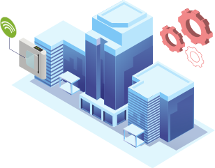
Digital twin of an event
- The platform starts with a precise 3D model of your venue. We upload the building plan and mark the floors, stairs, elevators, entrances/exits, and points of interest (POIs): stands, stages, bars, restrooms, first-aid stations, and cloakrooms.
- Equipment for indoor navigation and movement analytics is connected
- Integration with other information systems: tickets, access control systems, video surveillance.
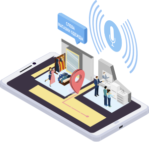
Positioning of visitors
- QR code (without app)
QR codes are available at the entrance, on the stand, and at the information desks. Visitors scan the code with their smartphone camera, and an interactive map with their current location opens in their browser. Visitors can create routes, search for POIs, and get descriptions of participants. No installations or registration required. - Mobile app
AR navigation. Virtual arrows are superimposed on the phone's camera image, showing the way.
Personalized routes. The app creates a route through specified locations and zones for the user.
Favorites. Visitors mark interesting stands and receive reminders to visit them. - Information kiosks
For those without a phone or with a dead battery, there are touchscreen kiosks at the entrance. You can view a close-up map, search for POIs, print directions, or send them to your phone.
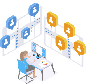
Administration and analytics
- The Indoors Navigation Platform web control panel is the organizer's "remote control".
- Live point map - where visitors and staff are currently located.
- Heat maps - red zones are the most popular, blue ones are "dead".
- Bus schedules - what are the peak hours, what days are the busiest.
- Crowd Alerts - Automatically notifies by zone.
- Personnel tracking - where are the security guards, volunteers, cleaners, and engineers now?
Functionality for digitalization of events
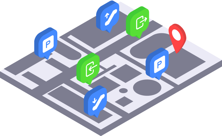
Interactive map with POIs
An event map is not just a diagram. This is an interactive guide.
Each point of interest (booth, stage, bar) has a card with a description, photo, contact information, schedule, and opening hours.
Search by name, category, floor, room or invited guest.
Filters: "only coffee stands", "only rest areas", "only exits".
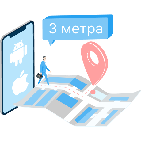
Route building
The visitor chooses a point (stand no. 42, toilet, exit).
The system builds an optimal route taking into account the user's current position, the number of floors, and possible obstacles.
The user sees the route on the map, can view it step by step, or turn on AR to follow virtual arrows.

Analytics and reports
Heat maps of movements - where people went, where they lingered, where they didn't go at all.
Statistics on points of interest and activity zones - number of visits, average stay time.
Route analysis – which routes are the most popular, where traffic jams occur.
Personnel efficiency - security response time to an incident, areas visited by a cleaner.
Stream demographics - who comes and when (if there is registration).
Reports are available in PDF, Excel, and CSV formats. They can be integrated into CRM and ticketing systems via API.

Chatbot
An AI assistant for automated communication with event participants
Answers questions, helps with registration and navigation through the event.
Instant notifications about changes in the program, without additional costs for third-party software
Schedule and activities with networking immediately in Telegram or MAX without downloading third-party applications.
Several times cheaper than a mobile app, easily adaptable to different events.
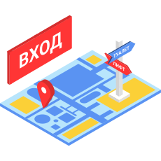
Safety and evacuation
In the event of an emergency, the system automatically determines the location of all people on the site.
Builds the closest safe route to the exit for each visitor. • Sends push notifications with instructions.
Shows the administrator on the map where people are, where to direct them, and how many people are left inside.
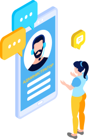
Personalized recommendations
The GIS remembers which locations and POIs the visitor added to their favorites and which ones they lingered at the longest.
Based on this, it suggests similar areas and POIs, routes through favorites, and sends push notifications and moster-class that may be of interest.

Increased revenue from sponsors
+35%
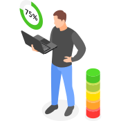
Reducing staff workload
−25%

User satisfaction
+40%
Benefits for the organizer
INP event management is a flexible solution that scales from a small conference of 500 attendees to an international exhibition of 50,000 visitors.

Increased revenue from exhibitors
You approach a potential sponsor and show them, not promises like "we have a lot of visitors," but a heat map from a previous event: "This is where traffic was highest, this is where it was lowest. Want to be in the red zone? Seats in that zone are 30% more expensive."

Increasing visitor loyalty
A visitor who didn't get lost, didn't stand in line for half an hour, found everything they wanted, and leaves the event with a smile. Will they return next year? Most likely. Will they recommend it to friends? Highly likely.
Result: рост NPS на 15–25 пунктов.
Reducing staff workload
Without navigation: every other visitor approaches a volunteer with questions like, "Where's the restroom?" or "How do I get to booth A?" Volunteers sit at information desks and answer the same questions thousands of times. With navigation: a visitor opens the app and finds everything themselves.
Result: сокращение количества волонтеров на информационных точках на 30–50%.
Data for marketing and sponsors
You provide the event sponsor with a report: "Your area was visited by 5,000 people, with an average dwell time of 4 minutes. Here's a heat map of your booth. Here are the other booths your audience visited."
Result: спонсоры видят реальную отдачу и не снимают финансирование в следующем году.

Security without unnecessary costs
The system automatically detects crowds, warns of the risk of crushes, and shows optimal evacuation routes. You don't need to hire additional flow monitors.
Result: соблюдение требований безопасности без роста штата.
Why choose Indoors Navi for your event:
Mass events are always stressful: huge spaces, thousands of visitors, hundreds of booths, points of interest, and various areas: food, restrooms, exits, and so on. Without convenient navigation, visitors often waste up to 30% of their time searching, becoming frustrated and leaving with a negative impression.

Easy and fast login
Ready in 2–6 weeks. Fast digitization. QR code – no apps or registration required. Visitors scan and see the card in 5 seconds.
Unified platform
Navigation, audio guide, staff tracking, heatmaps, video analytics, and reports—all in one place. No need to assemble a construction kit from five vendors.
Real data
You stop guessing where the crowd was. You see heat maps and numbers, and can sell seats at a higher price based on the facts.
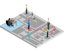
Safety as a gift
The system not only shows where people are but also helps evacuate them. This resolves the issue with the Ministry of Emergency Situations and regulatory authorities.
How we digitalize events?
Briefing
You tell us about the event (type, scale, location, objectives)6 we estimate the project’s deadlines and budget.
Site audit
We compile plans, set up POIs, determine the need for beacons, and determine how to integrate your video surveillance system.
Digitization
We create a digital twin of the event, add staff, and set up a map and widgets.
Integration
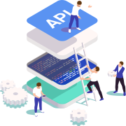
We embed the SDK into your mobile app, connect your CRM system via API, and configure the hardware.
Testing
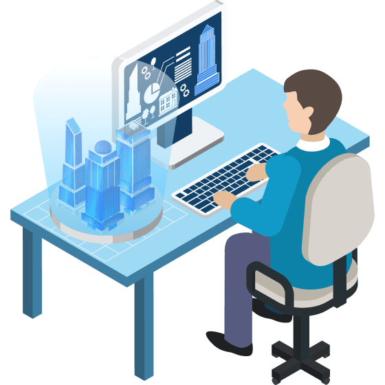
We conduct a pilot with a small group, collect feedback, and correct any nuances.
Launch
We support the event online, assist the administrator, and train you on how to use the INP system.
We are ready to cooperate with you!
A digital event is a turnkey solution for increasing the effectiveness of your event. Whether you're hosting a small event or organizing a large festival, we have the solutions and technologies to make your event more effective and profitable.
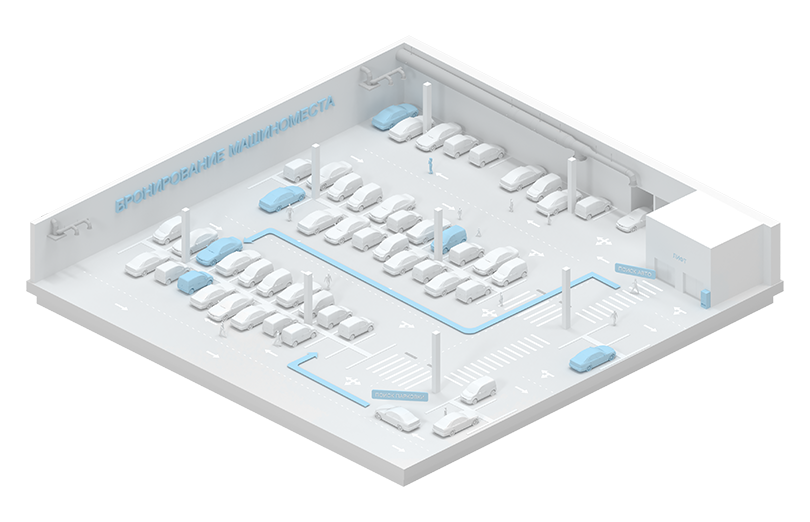
Navigation in parking lots
Digitalization of parking spaces is a necessary minimum at the current pace of urban development and represents the process of introducing modern solutions to optimize the management and use of parking areas.
Thematic publications on our blog
Intelligent Parking System – how it works
Навигационные решения для парковки автомобилей работают как для внутренних, так и для открытых парковочных систем и могут быть созданы для достижения.
Frequently Asked Questions (FAQ)
Do visitors have to install the app?
No. For basic navigation, simply scan the QR code at the entrance or at any stand. The map opens in your browser, no installation required. The app is only required for advanced features (AR navigation, personalized recommendations, favorites).
How do visitors learn about navigation?
We recommend:
— Place QR codes on entrance tickets, at information desks, and at each stand.
— Create banners at the entrance: "Scan the QR and don't get lost."
— Send a link to the map in push notifications and email newsletters before the event.
— Duplicate them on the screens of information kiosks at the entrance.
Is it possible to integrate the platform with an existing event app?
Yes. We have a ready-made SDK for iOS and Android that can be integrated into your app in 1-2 weeks. We provide maps, positioning, routing, and analytics as a module. You retain your design and user experience.
How long does it take to implement?
From 2 to 6 weeks depending on the area and complexity of the facility.
Week 1: inspection, plan collection, beacon placement design.
Week 2: digitization and 3D map creation.
Week 3: beacon installation (if BLE/UWB is required).
Week 4: application integration (if using our SDK) or customization of our ready-made widget.
Do I need to buy expensive equipment?
Not necessarily. The basic solution (QR navigation without positioning) works without any equipment at all—building plans and our software are sufficient. For indoor positioning, we recommend BLE beacons—these are inexpensive devices (starting at 1,500 rubles per unit) that operate on batteries for up to 2 years.