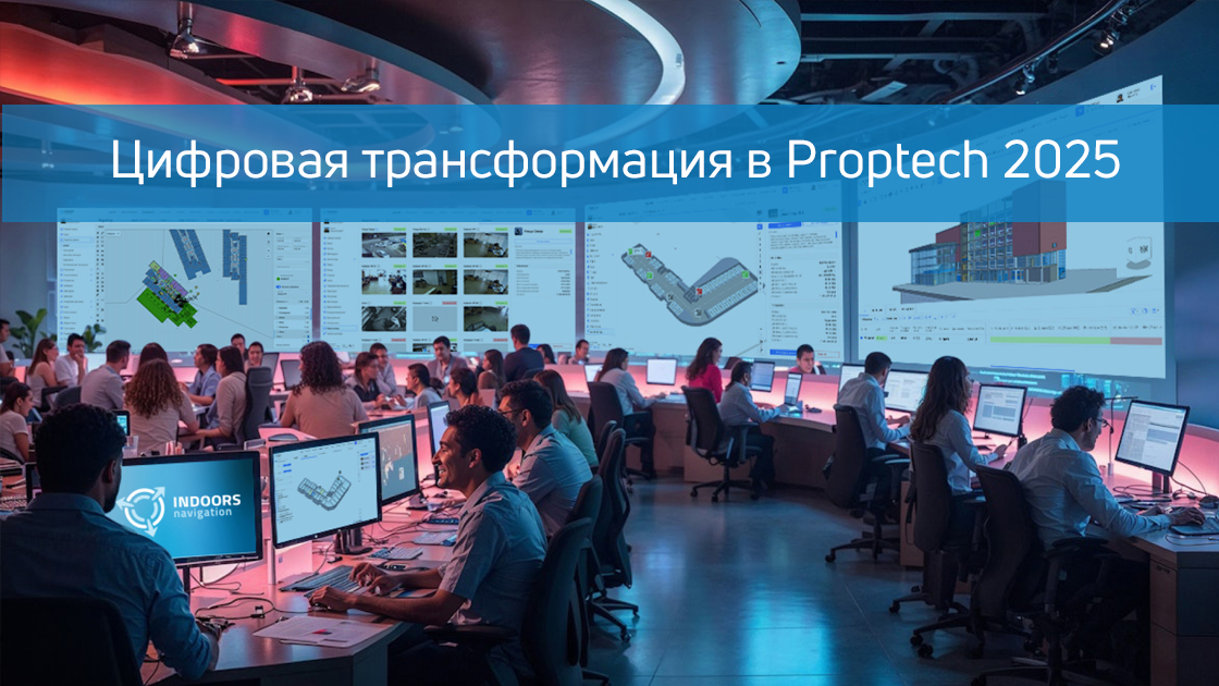
Digital transformation continues to change all industries, and Proptech (Property Technology) is no exception. By 2025, real estate technologies will reach a new level: smart buildings, digital twins, automation of facility management and, of course, innovative Indoors Navigation systems will become the standard.
In this article, we will analyze the key trends of digital transformation in Protech, the role of Indoor navigation, and how these technologies benefit businesses and users.
Finally, inefficient use of resources, high maintenance costs, and lack of data for process analysis and optimization complicate the management of residential complexes.
1. Protech in 2025: the main trends of digital transformation.
1.1. Smart buildings and IoT
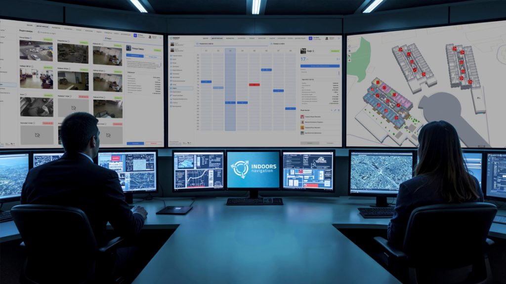
Modern buildings are turning into "living" ecosystems where sensors, automation systems, and IoT (Internet of Things) control lighting, climate, security, and energy consumption.
Case study: CBRE has implemented an IoT platform in office centers, which has reduced energy consumption by 20%.
1.2. Digital Twins
The Digital Twin is a virtual replica of the building that is updated in real time. The technology allows you to simulate operational scenarios, predict breakdowns and optimize space.
Case study: The Edge in Amsterdam uses a digital twin to manage a building, which has increased space efficiency by 30%.
1.3. Blockchain and Smart contracts
Blockchain technology accelerates real estate transactions, and smart contracts automate rental and payment processes.
Case study: Propy is a platform for buying real estate through the blockchain, which reduces transaction times from weeks to days.
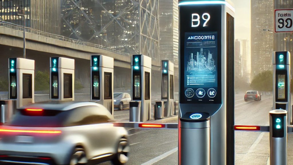
1.4. Indoor Navigation
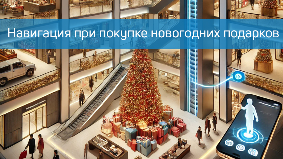
One of the fastest growing segments of Proptech is Indoor navigation. Technology helps people navigate shopping malls, airports, hospitals, and business centers.
Case study: Mall of America introduced Indoor navigation, which increased the average time spent by visitors by 15% and increased sales.
2. Indoor navigation in 2025: how it works and why it is needed.
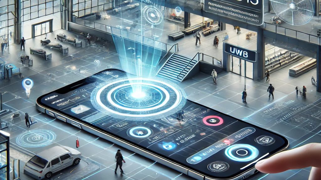
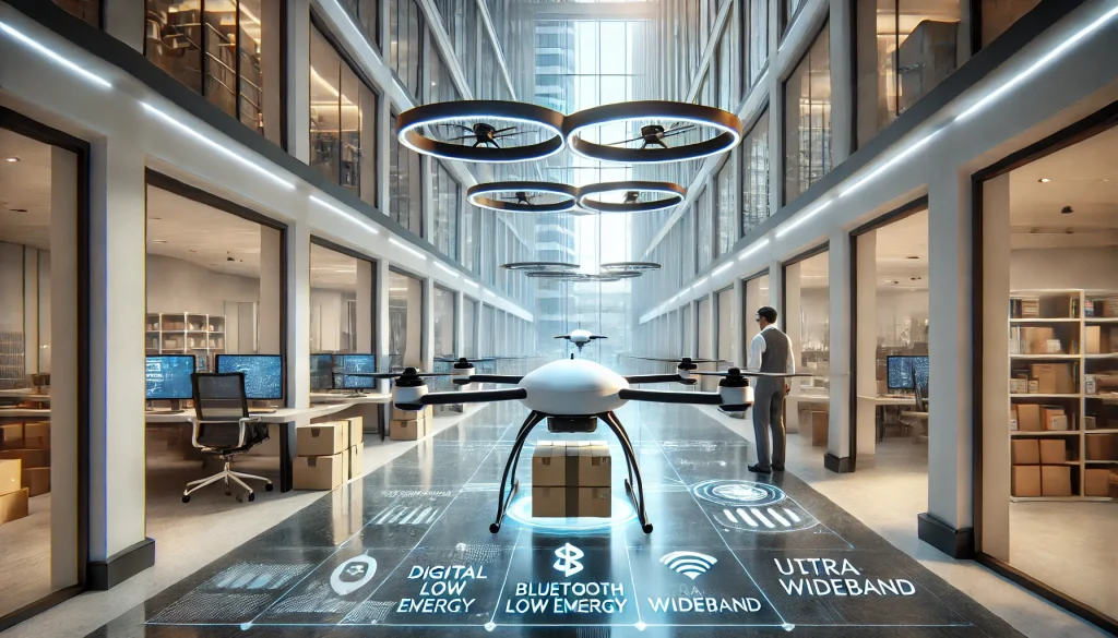
2.1. Indoor navigation technologies.
— Bluetooth Low Energy (BLE) и маячки – передают сигналы на смартфоны.
— Wi-Fi – используются для примерного позиционирования с задержкой.
— RFID – применяется на близком расстоянии от считывателя.
— LiDAR и компьютерное зрение – применяются в AR-навигации.
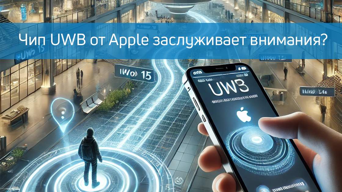
— UWB (Ultra-Wideband) – обеспечивает точность до 10 см.
2.2. Where is Indoor Navigation used?
✅ Shopping malls – navigate through stores and promotions.
✅ Airports and train stations – quick search for exits or check-in desks.
✅ Hospitals – routing patients to doctors' offices.
✅ Office centers – search for meeting and work areas.
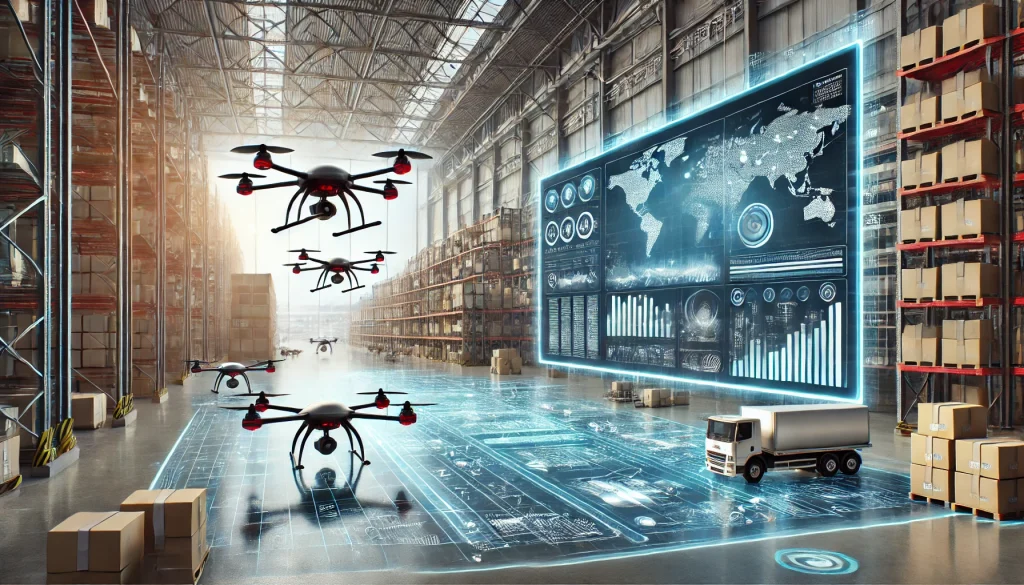
✅ Warehouses and logistics – optimization of employee movements.
2.3. Business benefits.
🔹 Increased conversion – customers find the right stores faster.
🔹 Reducing the burden on staff – fewer questions "Where is ...?".
🔹 Collection of analytics – movement data helps to optimize the space.
🔹 Improved customer experience – convenience for visitors = loyalty.

3. Cases of Indoor navigation implementation in 2025 in the West.
3.1. Westfield Shopping Center (London)
Implemented AR navigation through the app. Customers see the route and receive personalized offers. **Result:** sales growth of 12%.
3.2. Heathrow Airport (London)
Uses BLE beacons for navigation. Passengers save up to 30% of the time searching for an exit.
3.3. Mount Sinai Hospital (New York)
The navigation system has reduced patient waiting time by 25%.
4. The Future of Proptech and Indoor Navigation
By 2025, it is expected:
— Массовое внедрение AR/VR-навигации.
— Интеграция Indoor-навигации с умными городами.
— Развитие автономных роботов-помощников в зданиях.
The digital transformation in Proptech 2025 makes buildings smarter and navigation more convenient. Modern indoor navigation systems are becoming a must-have for businesses, increasing efficiency and improving user experience at a low cost of implementation.
📌 Learn more at www.indoorsnavi.pro about advanced solutions for indoor navigation. Implement technology today to stay one step ahead!
👇 Subscribe and keep up to date with innovations! 👇