«During a recent trip using my phone to navigate, my Google map showed buildings in 3D, a wonderful tool for showing the relative heights of buildings around me and providing a better understanding of where I am. This feature was introduced back in 2021. I've had enough years to remember the days when paper maps were my main means of navigation, when I had a rented car and had to write down exactly where I needed to go on a separate piece of paper so I wouldn't get lost searching. My path led somewhere in an unfamiliar city. But in the city itself, there were people of certain professions from whom I simply did not expect them to be able to navigate, including taxi drivers, deliverymen, and rapid response services — they all relied on knowledge and understanding of geolocation to get someone or something where they needed to go.», — пишет читатель. Зачастую этим группам людей необходимо найти не только здание, но и определенный этаж внутри здания. В частности, службам быстрого реагирования нужна четкость вертикального местоположения для повышения эффективности служб экстренной помощи и общественной безопасности.
GPS and its disadvantages
GPS — this is an incredible technology that was developed in the 1960s during the Cold War for military purposes. We now use it on our phones for countless applications, from sharing apps to delivery apps; from gaming to finding our way around the city. We are so dependent on it and geolocation services that in many cases we don't even realize all the disadvantages of GPS technology. For example, in urban areas, signals can be reflected and very inaccurate (Have you ever seen a really big blue dot on a map?). Sometimes the map can put you much further away than you actually are, because there is no line of sight with the satellites that make up the GPS signals that your phone should receive. Maps have also historically always been 2D (including many Google and Apple maps so far), but as more and more people live in urban areas (approximately 82% of US residents), it's not enough to get just the coordinates of where an object is located.
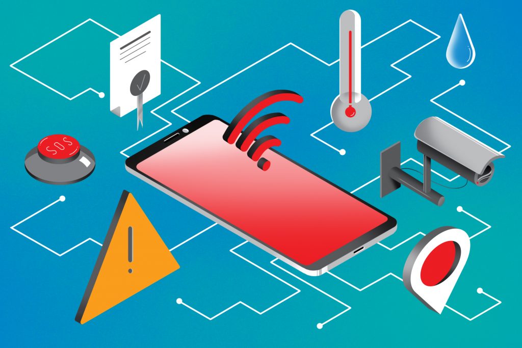
Many people don't realize that emergency services and public safety were the driving force that brought GPS to our mobile phones for all the apps we use now. The proliferation of mobile phones (and the emergence of people calling emergency services from these phones) has been the impetus for chips to become small enough to fit into them. As more landlines are "disconnected" over the years, currently more than 80 percent of emergency calls are made from mobile phones. GPS location coordinates from phones can now provide "x" and "y" coordinates in an emergency.
Vertical position of the Z axis
We often think about the need to call 911 when there may be an emergency at home, but it can happen anywhere. Even outside residential buildings, emergency calls come from schools, office buildings, and hotels— multistory buildings where precise location is important, beyond the "x" and "y". Here, vertical positioning can be important to save lives. During a heart attack, acute asthma attack, or other similar emergency, the caller to the emergency service cannot provide his location or address. While our Public Safety Response Points (PSAPs) now have technologies that allow us to determine the "x" and "y" coordinates of the caller and convert them to the actual address. The location of the caller along the vertical axis can be vital for finding a person in need.
Unfortunately, GPS coordinates and even Wi-Fi are quite poor at providing a location at the floor level. The Federal Communications Commission now requires wireless carriers to provide a person's location information "at the floor level" of an emergency caller in 25 major U.S. markets with at least 80 percent accuracy. This will allow emergency service operators and emergency response services to find their callers much faster, which saves thousands of lives every year.
The good news is that vertical Z-axis location technology already exists and can be used in more than just the top 25 U.S. markets. Apart from GPS chips on phones, almost all cell phones, wearables, and IoT devices have barometric pressure sensors. As we were taught in high school in physics, atmospheric pressure can be measured — and it is constantly changing. When you take the elevator, the pressure drops (so your ears may pop). The same thing happens when there is a downpour or even a strong wind – the pressure changes. But by using the pressure readings on the phone and subtracting the immediate weather effects in the area, it is possible to determine the exact location at floor level — even inside buildings.
The importance of accuracy
Digital cards have replaced paper cards. As our maps begin to turn into 3D and we increase our expectations for the functionality of smart buildings, let's not forget the role that accurate geolocation (in particular, floor-level location detection) should play in our future IoT applications and beyond. Accurate real-time location information (including altitude above sea level) will eventually become what makes smart buildings truly smart. As a result, such buildings can actually participate in emergency response, helping emergency services get to people in need faster, as well as tracking first responders, providing enhanced capabilities. Security for them in complex, multi-storey buildings without an accurate vertical location of the 3D map is, in fact, just empty shells. Fortunately, today there are technologies that allow you to use a vertical location at floor level to create mobile applications, etc.
You can learn more about the technologies on our website. on the website Indoors Navigation.