
University Navigation
The mobile application allows you to receive information about assignments, class schedules, and other important events, as well as contact teachers and administrators.
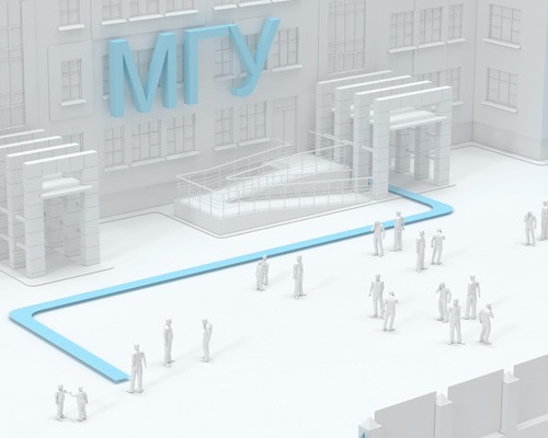
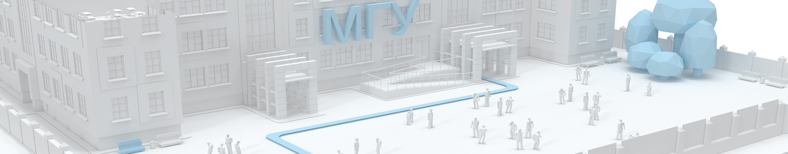
Modern navigation in educational institutions includes the use of innovative technologies to ensure the convenience and safety of students and staff.
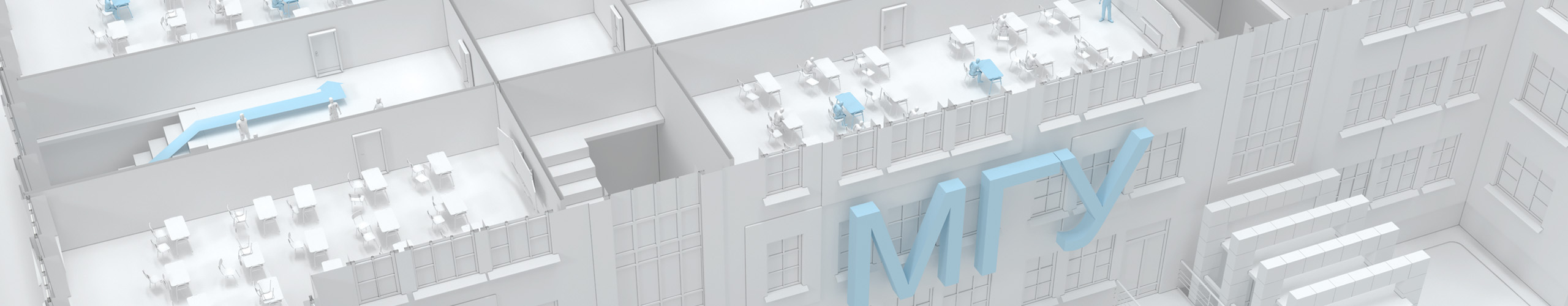
First of all, these are indoor positioning systems that help you find the right audience or office, as well as provide evacuation in the event of a fire or other threat.
Interactive maps of a building or campus that allow you to quickly and easily navigate through space and find the right objects, such as libraries, canteens, gyms, and more.
Educational institutions use student attendance tracking systems that are linked to the INP positioning system. This allows you to track attendance and give students feedback on the quality of their studies.
Digitalization of educational institutions is the process of introducing modern technologies into the educational process, which includes the use of digital tools and resources such as electronic textbooks, interactive whiteboards, online courses, and others.
Improving the organization of the space inside the educational institution due to the positioning system and indoor navigation allows you to determine the location of students and teachers, which helps in creating more efficient schedules, reducing problems with finding classrooms and places to conduct classes.
Digitalization of schools and universities using indoor navigation systems has many advantages and can significantly improve the learning process and safety on the premises of an educational institution.
Advantages for an educational institution:
Managing user flows:
Positioning systems can help determine the location of students and staff inside the building, which can be useful for managing the flow of people and improving safety.
Safety:
In the event of an emergency, such as a fire or evacuation, positioning systems can help determine the location of students and staff quickly and efficiently.
Navigation and cartography:
Indoor navigation systems can be used to create interactive maps of the university building. With the help of mobile applications and maps of the educational institution, students can quickly and easily find the right classroom, teacher's office or library, which saves them time and reduces stress levels.
Parental control:
Positioning systems can be useful for parents who want to track the location of their children on the territory of an educational institution. With the help of special applications, parents can receive notifications about the movement of their children inside the educational institution and be sure of their safety.
Improving the user experience:
Indoor positioning systems at universities can help improve the user experience of students and staff by providing more convenient movement and more efficient use of resources.

Property and resource management:
Indoor motion tracking solutions can be used to manage university assets such as books in the library or equipment in laboratories, allowing for more effective monitoring of their use. Monitoring of energy consumption at the university helps to optimize energy and water costs
A new communication channel with visitors, employees, and tenants
Quick notification of changes on the territory of the shopping center with reference to the location
Useful entertainment services based on augmented reality and AR navigation
Solutions for people with disabilities. Audio Guides

Caring for students
Digitalization and the introduction of a positioning system in educational institutions helps to create more comfortable conditions for students. They can easily navigate the university space, find the right classrooms and other facilities faster, and avoid wasting time searching for the right places.
In addition, digital technologies can improve the quality of education by facilitating the learning process and increasing the effectiveness of the educational process.

What does a visitor of an educational institution get?:
- Route optimization: The navigation system will help the visitor to find the right place in the building faster and easier, which will reduce the time spent searching and reduce stress levels.
- Convenience: The visitor will be able to easily find the right office, auditorium, library, dining room or other facilities of the educational institution. This will make visiting an educational institution more comfortable and enjoyable.
- Saving time: Thanks to the navigation system, a visitor to an educational institution can quickly find the right place, which will allow him to make better use of his time and not be late for classes.
- Improved security: The navigation system can help a visitor to an educational institution quickly find a way out in case of an emergency, which will increase the safety of everyone in the building.
- Improving the level of service: The introduction of a navigation system in an educational institution can increase the level of service and visitor satisfaction, which can lead to an increase in the reputation of the educational institution and an increase in the number of students.

Digitalization of educational institutions
Digitalization of educational institutions using navigation systems is a step forward in the field of education. The introduction of modern tracking technologies in the premises helps to create comfortable conditions for students and improves the learning process.

What does the school administration get?:
- Improved control and management. The navigation system allows the administration of the educational institution to track the movements of students, teachers and other staff in real time. This can help to more effectively monitor the work of staff and manage the processes in the educational institution.
- Increased security. The navigation system can help ensure the safety of students and staff, especially in large educational institutions. It can help determine a person's location in case of an emergency, such as a fire or other security threat, and quickly organize an evacuation.
- Improved service for visitors. The navigation system can help visitors to an educational institution to navigate its spaces more easily and find the objects they need (classrooms, classrooms, library, dining room, etc.). This can improve the convenience of visiting an educational institution and increase the level of its service.
- Improved resource management. The navigation system can help the administration of an educational institution optimize the use of its resources, such as classrooms, laboratories, etc. This can help improve class planning, avoid schedule overlap, and increase efficiency.
- Improved interaction with students. The navigation system can help the administration of an educational institution establish more effective interaction with students, for example, by sending messages with information about upcoming events, schedule changes and other important events. This can increase the level of student participation in the life of an educational institution.

The relevance of the GIS implementation of the Indoors Navigation Platform
Indoors Navigation provides new modern services, thanks to which institutes and universities will be able to work as effectively as possible with offline and online audiences among students.
Thematic publications on our blog

Navigation in schools and educational institutions
As part of the implementation of the initiatives of the National Technology Initiative (NTI), the Aeronet project, modern educational institutions face numerous challenges related to safety, process management and efficiency improvement.
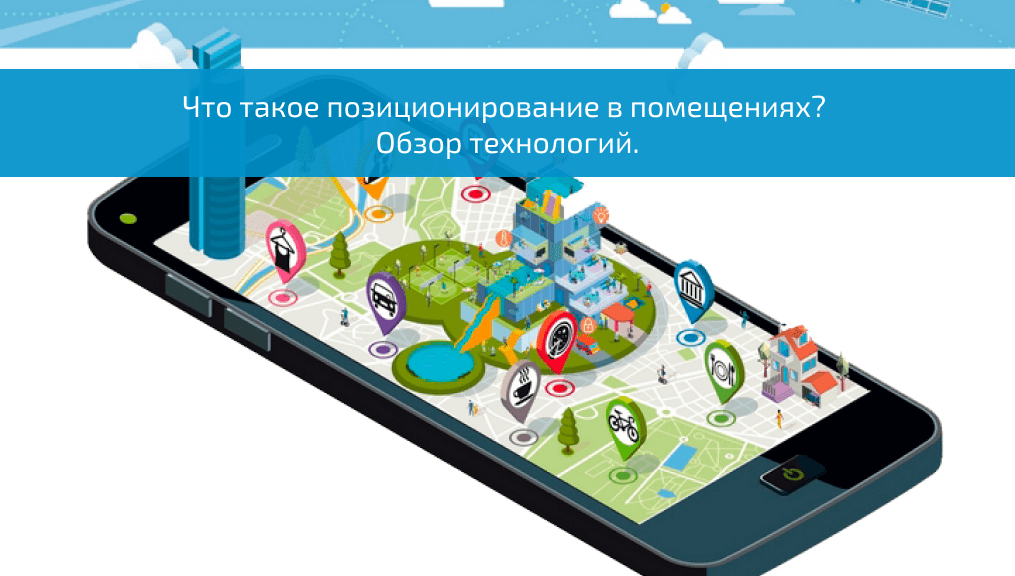
What is indoor positioning? Technology Overview
Indoor positioning is a technology that allows you to determine a person's location inside a building or room using various sensors and systems. This technology can be used in various fields.…
Frequently asked questions about the introduction of navigation at the university
What is GIS for educational institutions and universities and why is it needed?
The Geographic Information System (GIS) for educational institutions is a tool that helps manage the campus space, track student and staff flows, provide convenient navigation through the territory and increase security. GIS makes navigating the university grounds easier and more efficient, as well as helps administrators manage resources.
What are the advantages of GIS implementation in educational institutions?
GIS improves navigation for students, staff, and visitors, increases security, helps manage the campus optimally, supports event planning, and enhances the convenience of staying on university grounds.
How can students and staff use GIS at the university?
GIS provides interactive maps through mobile applications and information terminals, helping users find the right buildings, classrooms, libraries, cafes, parking lots and other campus facilities.
What data does GIS collect at the university?
GIS can collect data on building attendance, student and staff movement, and campus congestion and use this information to improve resource and infrastructure management.
How difficult is it to manage GIS after installing it?
Modern GIS platforms have a user-friendly interface and usually include tools for data management, updating maps, and monitoring, which makes the system user-friendly even after installation.
How does GIS help in organizing events on campus?
GIS provides information about the most convenient routes, event areas, parking availability, and traffic flows, helping administrators efficiently organize events and minimize crowding.
How does GIS implementation improve the overall experience of students and visitors?
GIS facilitates navigation, helps to quickly find the right objects and improves the overall experience of staying on campus, creating comfortable conditions for study and work.