Navigation at the exhibition
The largest exhibition complexes use modern technologies to attract visitors and participants, strive to make visiting exhibitions more comfortable and their management more convenient. All this points to the need to introduce modern geographic information systems for indoor navigation.
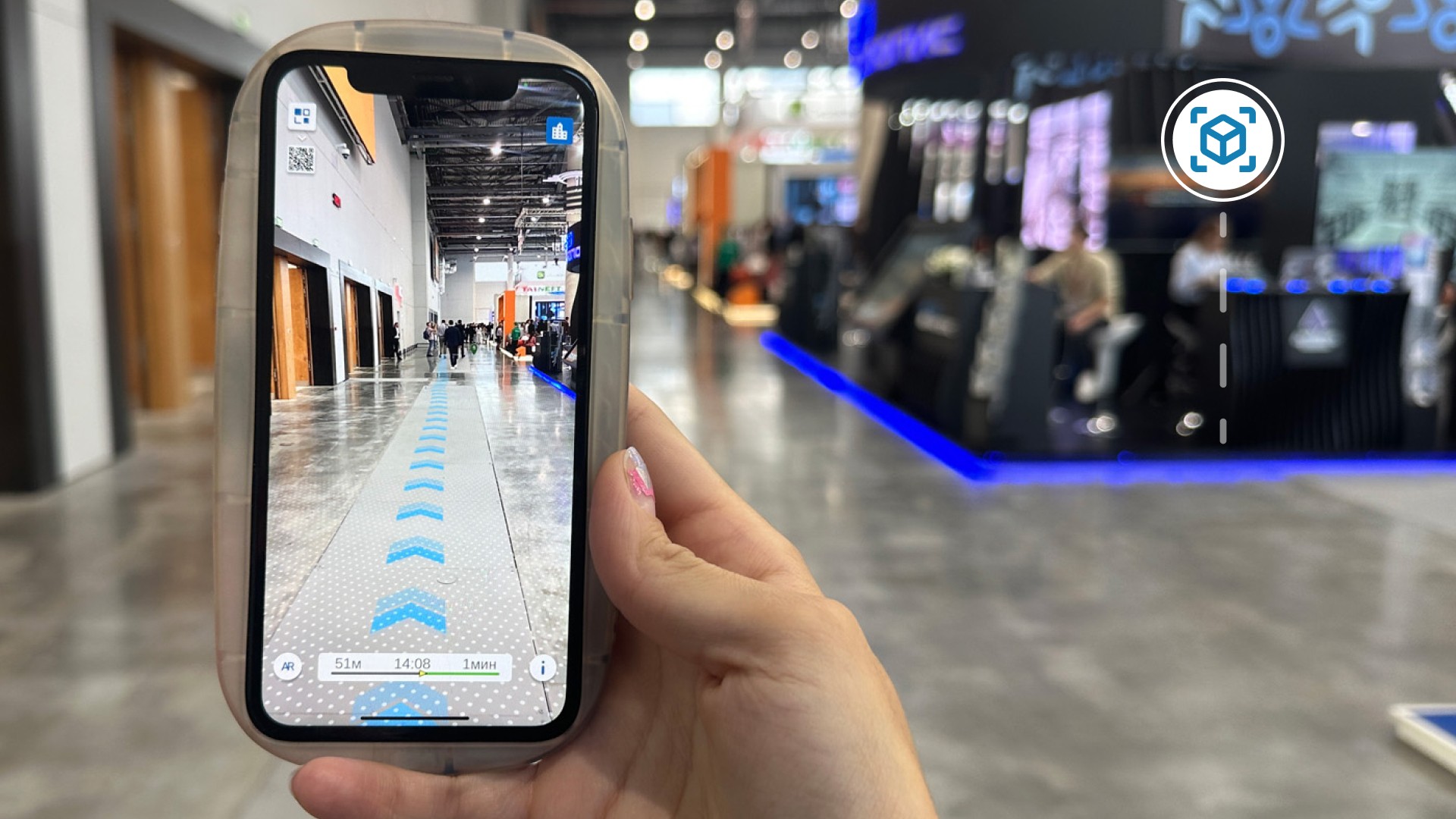
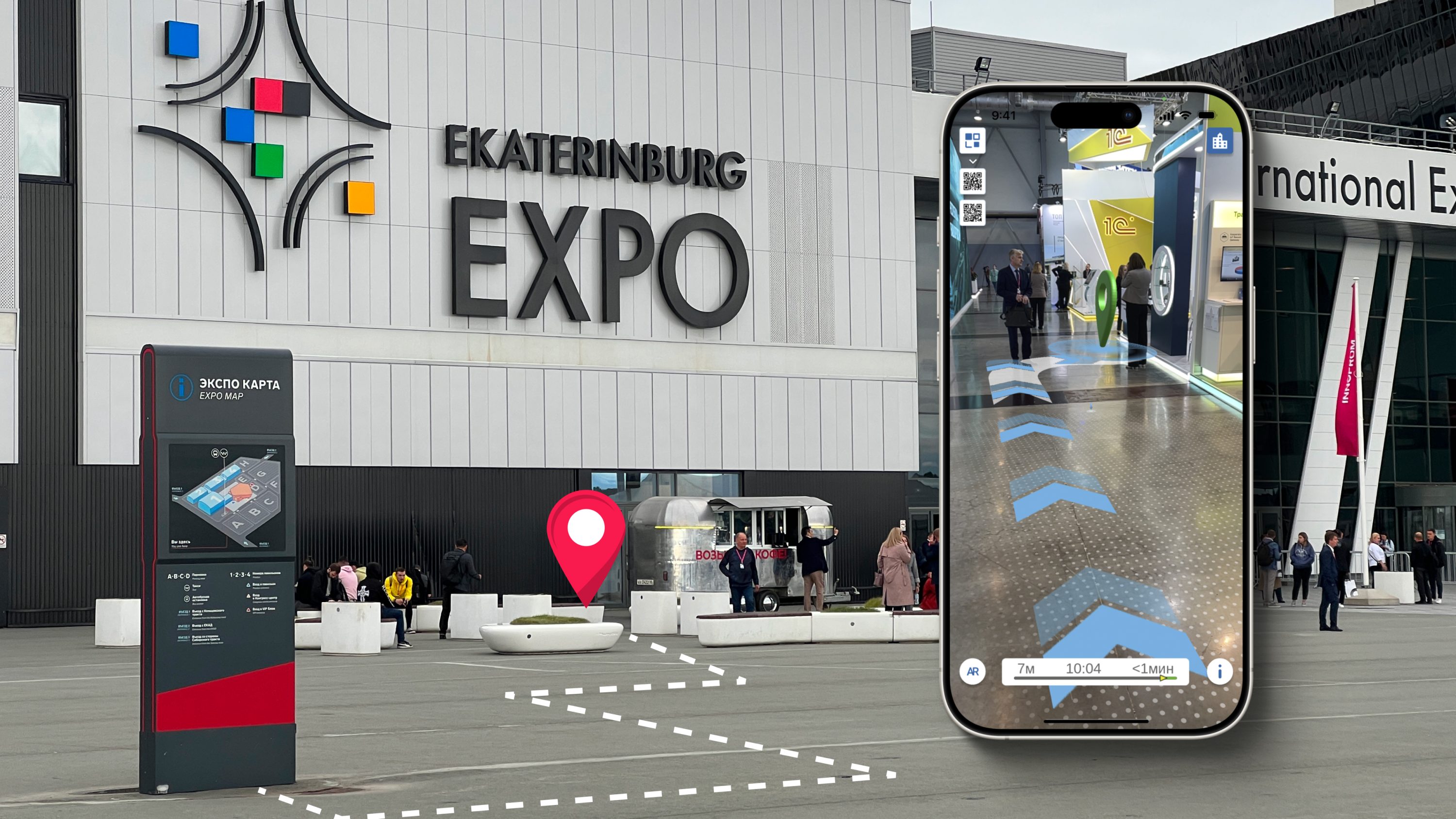
The use of AR navigation on exhibition sites makes visits not only more exciting and opens up new opportunities for visualizing information about exhibitors, but also helps to find the right booth faster.
The regularly changing layout of the exhibition spaces requires digitalization of the exhibition complex, as well as the introduction of a geolocation platform with navigation functions for pavilions and stands, in which you can quickly change their location and description.
A mobile application with internal navigation allows you to navigate and find the exhibition stand you are interested in, a place for lunch, and even a car in the parking lot!
Advantages for exhibition centers:
Improving the quality of service and popularizing the expocenter:
Reaching the world standards of exhibition work, increasing the loyalty of guests
A digital twin of the exhibition space with visualization of the operation processes:
Reduction of operating costs and its digitalization
Statistics on visits to exhibition centers:
Up-to-date statistics on movements around the exhibition and heat maps
A new source of income for the exhibition site:
Placing ads using the geo-contextual advertising module
AR navigation when visiting an exhibition:
Augmented reality to showcase the content of the exhibitors
Improving labor efficiency:
Optimizing the work of employees through the exhibition staff tracking system
Attracting online users and increasing visitors:
Advertising on the Internet by mac addresses and connecting social networks

Advantages for the exhibition visitor:
- Карта выставки в мобильном устройстве с возможностью проложить маршрут до нужного стенда.
- Новый канал связи с посетителями и экспонентами, современные развлекательные функции на основе дополненная реальности.
- Доступ к цифровому контенту выставки в своем с мобильном устройстве.
Thematic publications on our blog
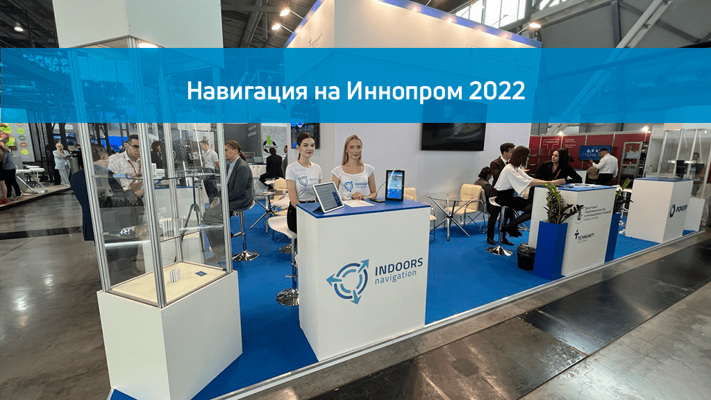
Navigation on Innoprom 2022
Indoors Navigation took part in Innoprom 2022, where it presented its geolocation platform based on a digital twin of an object for indoor navigation, tracking tangible assets and collecting analytical information.
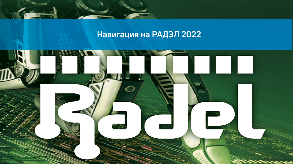
Navigation at the RADEL 2022 exhibition
Company Indors Navigation LLC resident of the Zelenograd Innovation Territorial Cluster, she deployed a navigation system inside Pavilion F of the Expoforum in St. Petersburg at the XXII International Exhibition Radio Electronics and Instrumentation.
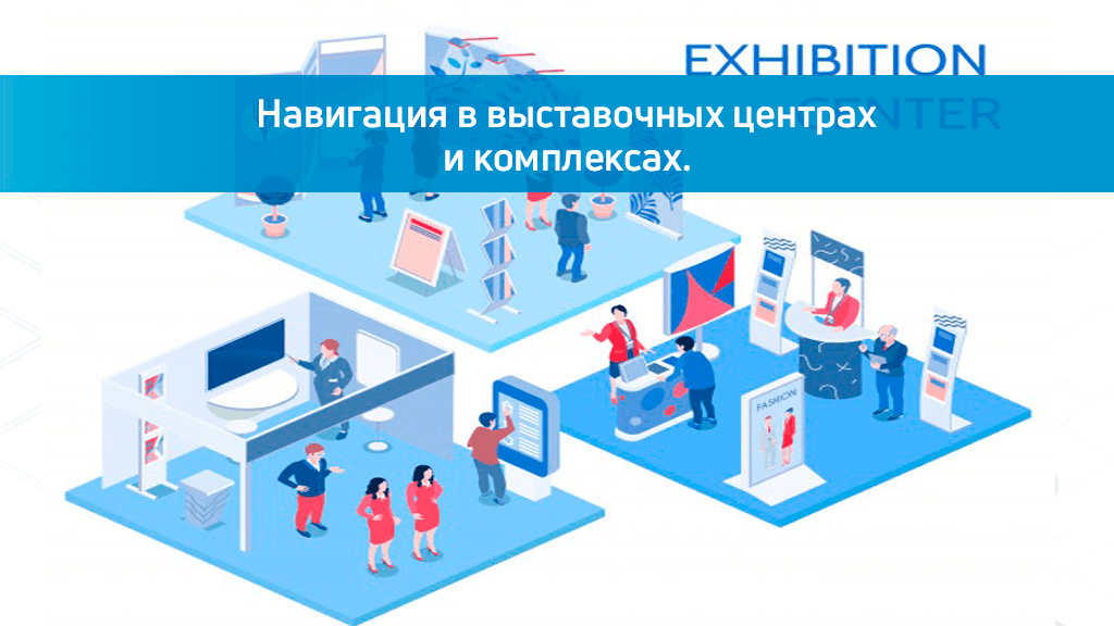
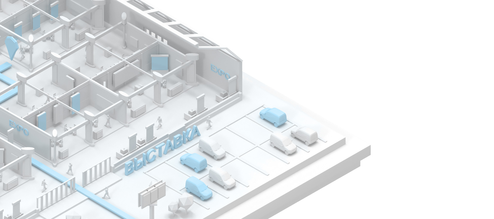
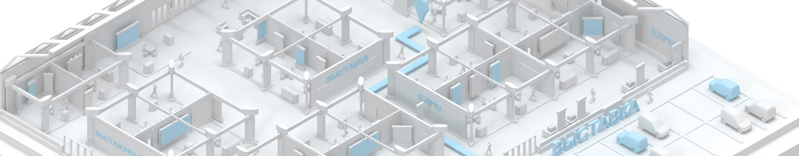
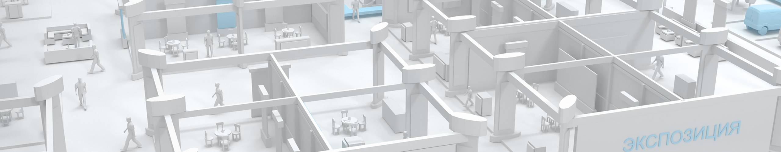
Navigation in exhibition centers and complexes.
As a rule, exhibitions are held in large indoor exhibition centers where it is easy to get lost, GPS navigation does not work and it is not always convenient to use visual pointers alone. Every visitor wants to spend their time at exhibitions as efficiently as possible and see as much as possible.…
A thematic case in our portfolio
Frequently Asked Questions about the Interiors Navigation Platform for Exhibition Spaces
What is GIS INP for exhibitions and exhibition centers?
GIS INP is a geographic information system that helps exhibition organizers and visitors navigate the space, manage the flow of people, track the occupancy of zones and optimize the use of space. It creates a comfortable and safe space, improving navigation and the overall organization of the event.
What advantages does GIS INP give to exhibition organizers?
GIS INP allows organizers to track visitor flows in real time, monitor zone congestion, optimize routes, and manage security, which helps improve logistics and the overall event experience.
How can GIS INP help with the analysis of visitors' behavior at the exhibition?
GIS INP allows organizers to track visitor flows in real time, monitor zone congestion, optimize routes, and manage security, which helps improve logistics and the overall event experience.
Is it possible to use GIS INP to improve security at the exhibition?
Yes, GIS INP allows you to track gatherings of people, control access to individual zones and plot safe evacuation routes. This significantly reduces risks and improves the level of safety for visitors and staff.
How do visitors interact with GIS INP at the exhibition?
Visitors can use the mobile application or information terminals with interactive maps to find the right stands, learn about events and get up-to-date information about the event, making the visit more convenient and informative.
What data can be obtained using GIS INP to assess the success of the event?
The system provides data on attendance, time spent in different zones, as well as on the most popular routes and points. This helps the organizers evaluate the effectiveness of the layout and the audience's interest in various expositions.
How difficult is it to implement GIS INP at the exhibition?
Implementation usually takes place in several stages, including hardware installation, software configuration, and staff training. The process usually takes several weeks and adapts to the specific requirements of the site and the scale of the event.