Modern construction sites are becoming more complex and large-scale. To manage these facilities effectively, developers and builders need to use advanced technologies. One of these technologies is the worker positioning and tracking system. These systems allow for improved process control, lower costs, and increased safety and productivity.
Various technologies are used on construction sites to position and track workers. The main ones include GPS and GLONASS, RFID, Bluetooth, UWB, Wi-Fi, and computer vision cameras. Each of these technologies has its advantages and disadvantages, depending on the conditions and requirements of a particular project.
GPS and GLONASS
Global positioning systems such as GPS and GLONASS are widely used on outdoor construction sites. These technologies allow you to accurately determine the location of workers and equipment in an open area. However, in conditions of dense buildings or inside buildings, their accuracy may decrease.
RFID
Radio Frequency identification (RFID) is a technology where RFID tags are attached to workers' hard hats, clothing, or equipment. Readers installed at certain points record the passage of tags, which allows you to track the movements of personnel. This solution is convenient for access control and time management.
Bluetooth и BLE
Bluetooth and BLE (Bluetooth Low Energy) technologies are used to create networks of beacons that interact with workers' mobile devices. These technologies ensure high accuracy of positioning inside buildings, which makes them ideal for use in dense buildings.
UWB
Ultra-Wideband (UWB) is a technology that provides high positioning accuracy of tens of centimeters. It is especially effective in dense buildings and enclosed spaces where GPS accuracy may be insufficient.
Cameras and computer vision
Modern video surveillance systems using computer vision technologies can analyze the movements of workers and equipment in real time, detect violations and prevent accidents. Cameras can be placed at key points, providing visual monitoring of what is happening on the site.

Advantages for developers
The implementation of worker positioning and tracking systems brings many benefits to developers and builders. These systems can improve security, improve resource management, increase productivity, and reduce costs.
Increased security
Safety on the construction site is a priority. Tracking systems allow you to quickly respond to emergency situations, identify potential hazards in a timely manner and prevent accidents. For example, with the help of positioning systems, it is possible to control the access of workers to dangerous areas and evacuate them in a timely manner if necessary.
Increased productivity
Collecting data on workers' movements and activities helps optimize work processes, reduce downtime, and increase overall productivity. For example, data analysis can identify bottlenecks in logistics and suggest ways to eliminate them, which reduces the time needed to complete tasks.
Cost reduction
Automated control over the execution of work allows you to reduce the cost of management and control, as well as minimize losses associated with inefficiency and errors. According to research, the use of positioning and tracking systems can reduce workflow management costs by 10-20%. For example, if a project costs $100 million, the savings can be up to $20 million.
Improved resource management
Tracking systems help to efficiently distribute labor and equipment, avoiding their downtime and overloads. This makes it possible to use resources more efficiently and reduce the cost of their maintenance.
Documentation and reporting
Automatic logging and reporting simplifies the documentation process and allows you to quickly provide the necessary information to customers and regulatory authorities. This reduces the administrative burden and increases the transparency of the processes.
Metrics and achieved results
Various metrics such as labor productivity, security level, task completion time, and management costs are used to evaluate the effectiveness of positioning and tracking systems implementation. Examples of achievable results include:
- Increase in labor productivity by 15-25%.
- Reduce the number of accidents by 30-40%.
- Reduce task completion time by 20-30%.
- Reducing project management costs by 10-20%.
Integration with existing solutions
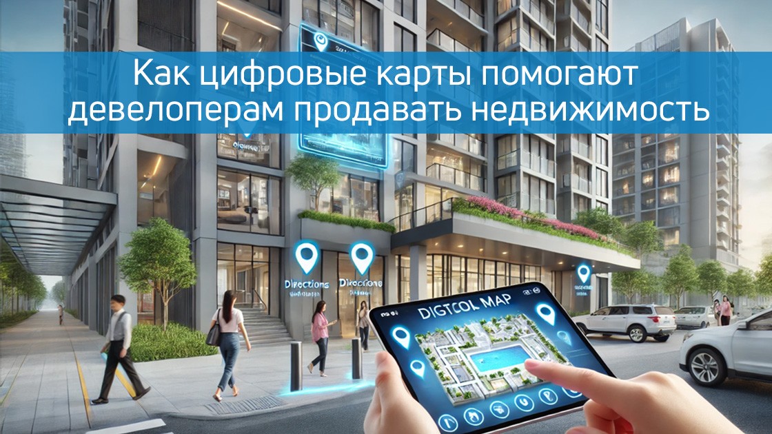
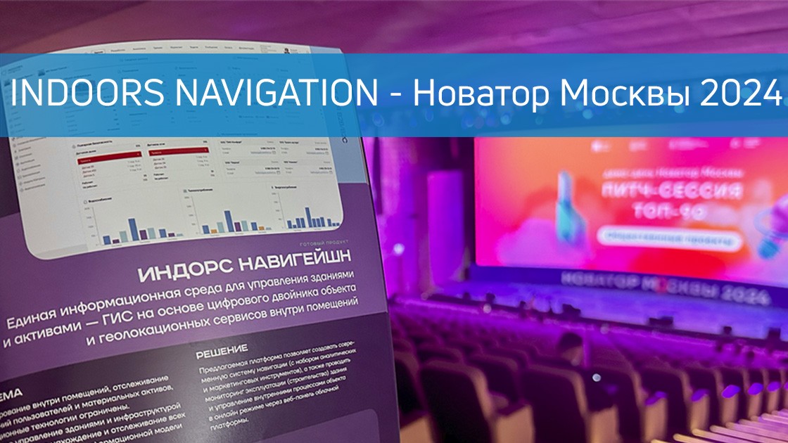
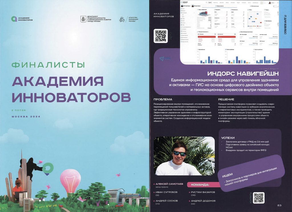
Modern positioning and tracking systems can be integrated with existing construction management solutions and geographic information systems such as the Indoors Navigation Platform. This allows you to create a unified information space and ensure more effective project management.
Integration with BIM (Building Information Modeling)
Tracking systems can be linked to BIM, which allows you to automatically update building models and monitor the execution of work in accordance with the design documentation. This simplifies the process of planning and coordinating work.
Integration with Construction Management Systems (CMS)
The introduction of tracking technologies in CMS allows for improved project planning, control, and reporting, providing more accurate data for management decision-making. This allows you to reduce decision-making time and improve their quality.
Integration with ERP systems
Integration with ERP (Enterprise Resource Planning) systems helps automate accounting and resource management, including labor, equipment, and materials. This allows you to reduce the cost of managing resources and increase their efficiency.
The use of geographic information systems (GIS)
Combining data on the location of workers with GIS cartographic data allows for more accurate planning of work and improved logistics at the construction site. This helps to reduce the time needed to complete tasks and reduce logistics costs.

Indoors Navigation solutions for process and personnel control
The company Indoors Navigation offers comprehensive solutions for monitoring processes and personnel on construction sites. Our systems include the Indoors Navigation Platform, mobile applications for workers, analytical tools and solutions for integration with other systems.
The Indoors Navigation Platform
Our platform allows you to integrate various positioning and tracking technologies into a single system, providing accurate and reliable control over all aspects of the construction process. It supports integration with BIN, CMS, ERP and GIS, which allows us to use our technologies within the existing customer infrastructure.
Mobile applications for workers
User-friendly mobile applications allow workers to receive up-to-date information about assignments, routes, and safety, as well as provide real-time data for supervisors. This helps to improve communication and coordination of work.
Analytical tools
Our analytical tools help analyze the collected data, identify trends, and make informed decisions to optimize processes. This makes it possible to increase the efficiency of project management and reduce costs.
Integration with other systems
We offer solutions for integration with BIM, CMS, ERP and GIS, which allows us to use our technologies within the existing customer infrastructure. This simplifies the implementation process and increases the efficiency of using our solutions.
Conclusion
The introduction of positioning and tracking systems for workers on construction sites opens up new opportunities for developers and builders. These technologies help to increase security, improve process management, and reduce costs. The company Indoors Navigation offers advanced solutions that integrate with existing systems and provide full control over all aspects of construction. Contact us to learn more about our products and begin the path to more efficient and safer construction.
Learn more about the application of Indoors Navigation solutions for positioning on the construction site on our on the website .