Subway navigation
Every year, more new stations and transfer hubs are being built, and transport routes around the metro are being combined: the MCC, TPK, and MCD. Passenger traffic has grown by 19% over the past 10 years.
Passengers often do not know where the passage they need is, the exit to the street or bus, or the passage to the transfer. The search is carried out only by visual navigation signs. In the modern world, this is not the most optimal way, which consumes a lot of passengers' time, thereby delaying their stay at stations and reducing the capacity of the subway as a whole.
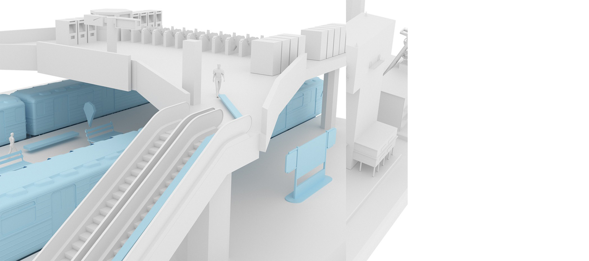
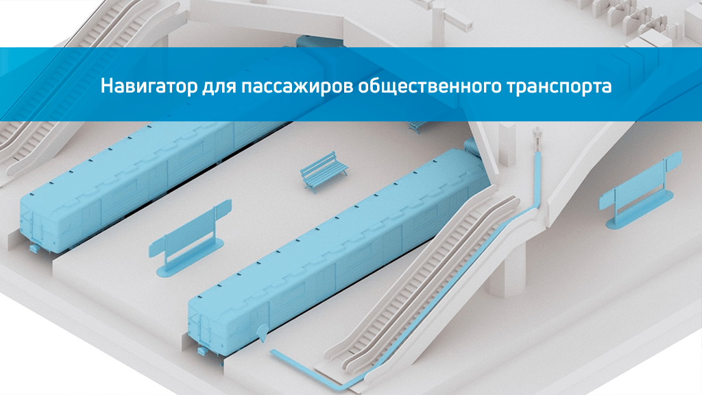
The introduction of internal navigation will allow passengers to provide a detailed map of stations on a mobile device with the ability to plot a route to the desired point (exit, crossing, stop) while still in the train carriage, and follow it in navigator mode.
The digital twin of TPU and the cartographic service of subway crossings simplify the management of the facility and increase passenger comfort.
The introduction of an indoor mobile navigation service will reduce the time needed to find the right route inside the TPU and increase the rhythmic flow of passengers.
Advantages for the metro:
The digital twin of the subway:
Increasing the capacity of lobbies and TPUs:
Improving the quality of service and increasing passenger loyalty:
Due to new services, and consequently the popularization of public transport
Simplification of passenger information:
Statistical data:
Analysis of movements and tracking of passenger flows (who uses what kind of transport, at what time, at which stops they enter and exit, where and where they transfer) during the comprehensive implementation of the service in transport
Tracking the movement of employees at transport infrastructure facilities:
Advantages for the passenger:
A map of the transport hub (TPU) on your mobile device:
Reflection of the main points and zones: entrances, exits, escalators, crosswalks, ticket offices, commercial facilities (cafes, restaurants, shops), car parking, etc.
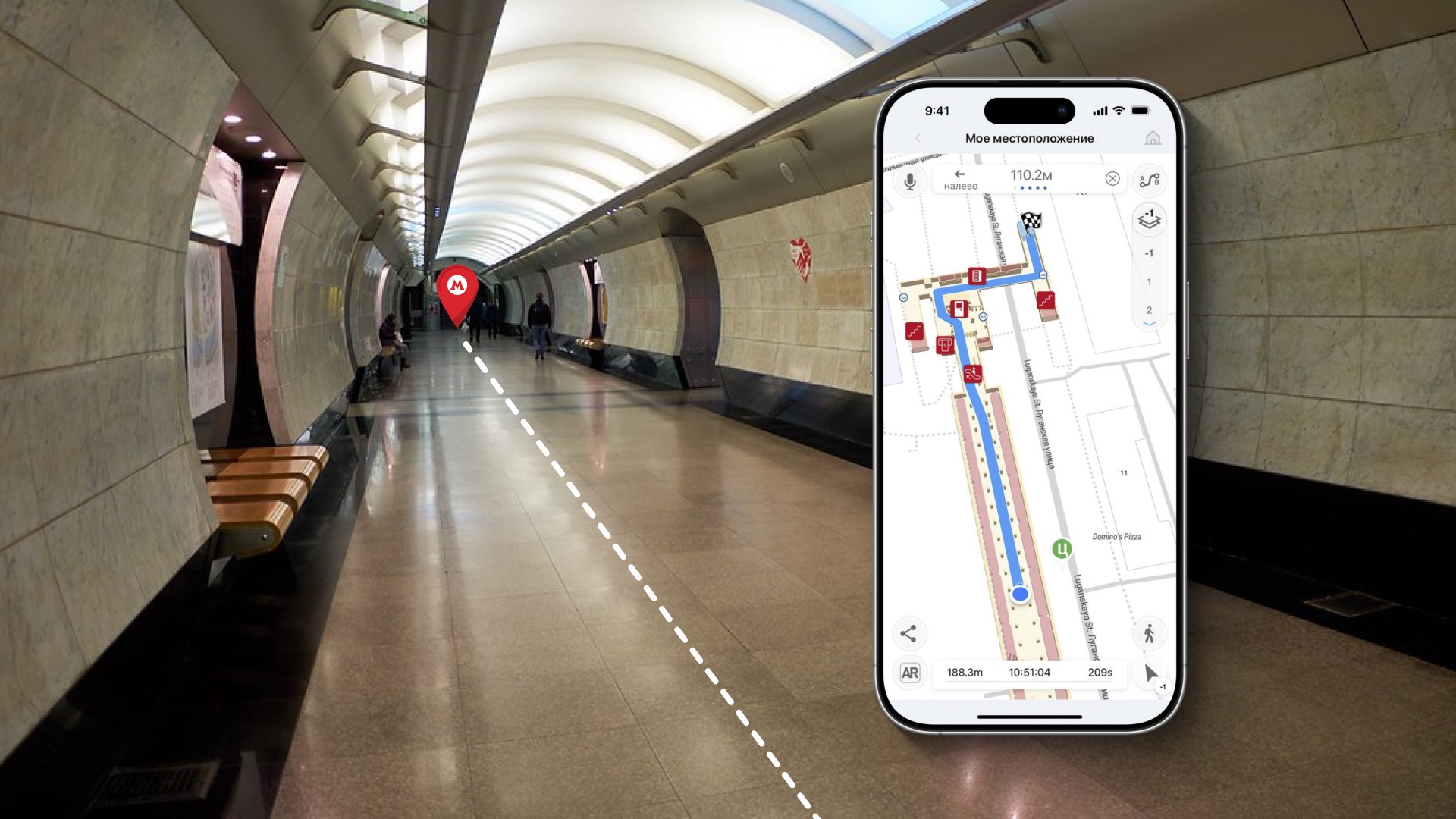
Easy navigation through the crossings and exits from the station:
With the ability to navigate the route as in the navigator
AR navigation:
The ability to set a route in game mode due to augmented reality

Thematic publications on our blog
Navigator for passengers of public transport and positioning in the subway.
Navigation in the subway is becoming more convenient with the use of a mobile navigator for passengers, which was tested in 2022 at Tsaritsyno station.
Frequently Asked Questions about navigation in TPU (FAQ)
How can internal positioning help in transportation hubs?
Transport hubs usually have a large interior space and are mostly very crowded. It can be difficult for passengers to navigate. Thanks to the indoor location detection system, passengers can feel more comfortable and move around without unnecessary stress due to the possibility of being late.
How can interactive IN navigation help manage the flow of passengers?
Indoor positioning can help management track passenger movements and manage flows at entrances and exits accordingly.
The administration can send notifications to users in the app with information about the most overloaded entrances and exits, accessible passageways, and empty security checkpoints.
What functionality does IN internal positioning offer for transport hubs?
The transport hub can use the Indoors Navigation indoor positioning system to manage passenger flows and service personnel, as well as create interactive scenarios for interacting with passengers, suggesting that they use the new services in a playful manner.
Navigation on your smartphone, quick location detection, receiving geo-location-linked notifications, real-time tracking of route movements, analysis of the movement of tangible assets and equipment, marketing scenarios using augmented reality, and more.